Ugh,

Sometimes it is just too hard, getting the route files, working it down into smaller sections, generating the correct extension, loading it into my Garmin InReach… just so hard.

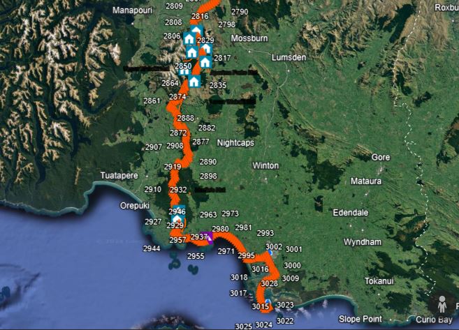
For safety reasons I use a Garmin InReach with satellite tracking. I also use it as a backup to not get lost. My live tracking is available here: https://Share.Garmin.com/PhilipNZ
__________
43.5323 – 172.5567
22 January 2024
FP-11
3 responses to “GPS, Garmin, Satellite Tracking”
Thanks!
Is the app enough to plan and walk the Te Araroa or do you also need GPS, compass etc …
Hi Lainie, in my experience, from the bits that I have done, the Te Araroa app is great, but you don’t always have internet coverage. I carry a Garmin Inreach as a secondary device and it covers satellite communications and emergency contact as well. You can program the route waypoints and tracks into your Garmin and it is pretty accurate in the field. You can download the up to date route files from the Te Araroa website. Compass is a little out of date, unless you aim to earn a Scout Badge, I would not recommend… and maps are heavy.