I did a little housekeeping on my Garmin Explore page,
So for those of you that check-in on me in more detail while I am on the trail, it should be all up to date now with all the routes and waypoints loaded for the South Island. You can visit it by clicking [here]or you can try to remember the address https://share.garmin.com/PhilipNZ
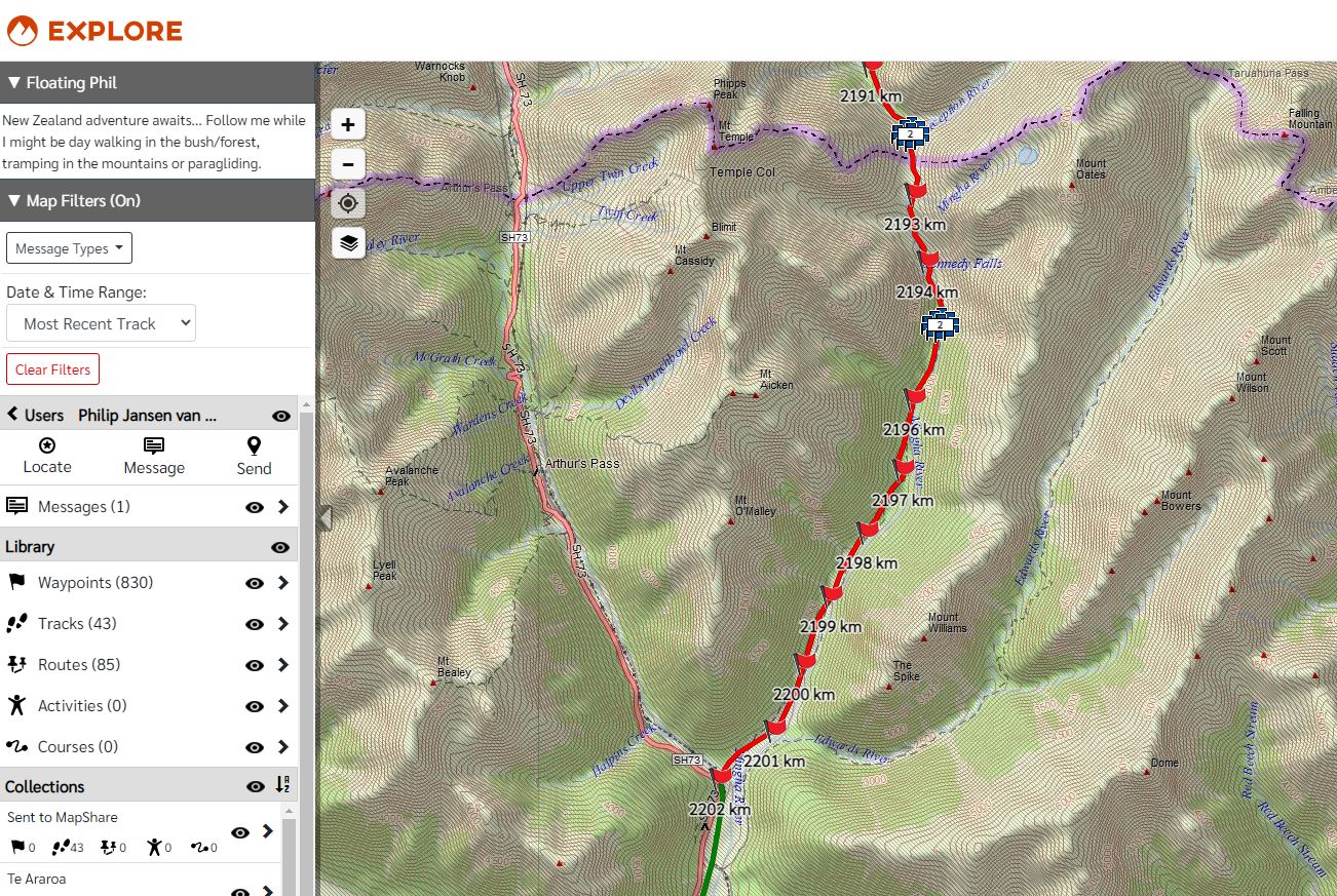
I changed the routes that I have completed to green and only posted a green distance marker every 10km to show the progress that I have made so far. I also listed all the places I have stayed, and removed the other waypoints for hut and things that are no longer needed. You can also look under “Map Filters (ON)” and depending on your settings, it will show you my actual track in blue and also my latest position if you are interested. Example below.
The webpage also shows the route that is left for me to do in red, with red distance markers every 1km. Remember I use the other end of this page to track my progress and navigate while on the trail, so I need the waypoint distance markers every 1km during the day. On the red route sections I also listed all the possible hut and camp locations, even if I may skip some of them. I will update the red sections only when I am home from the trail. Example below.
__________
43.5323 – 172.5567
13 April 2024
FP-93


One response to “Updated my Garmin webpage.”
The distance markers are counting down from 3020km at Sterling Point in Bluff were I started.